Wielkie Imperium kontra mała wyspa, czyli wojny dorszowe / A Great Empire vs a Small Island, or the Cod Wars

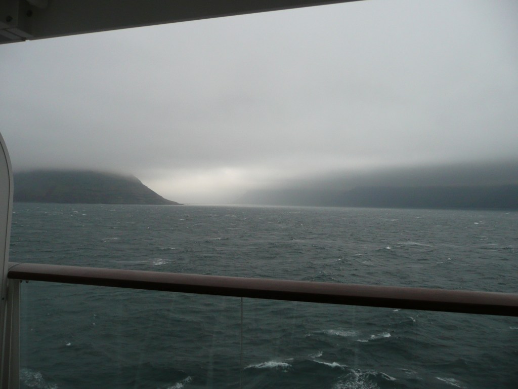
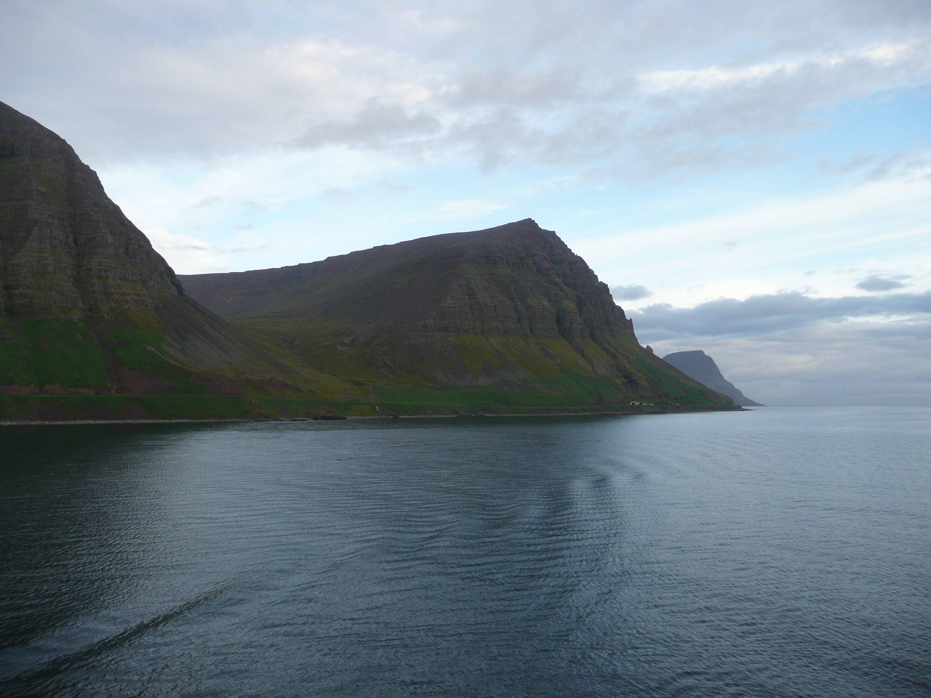
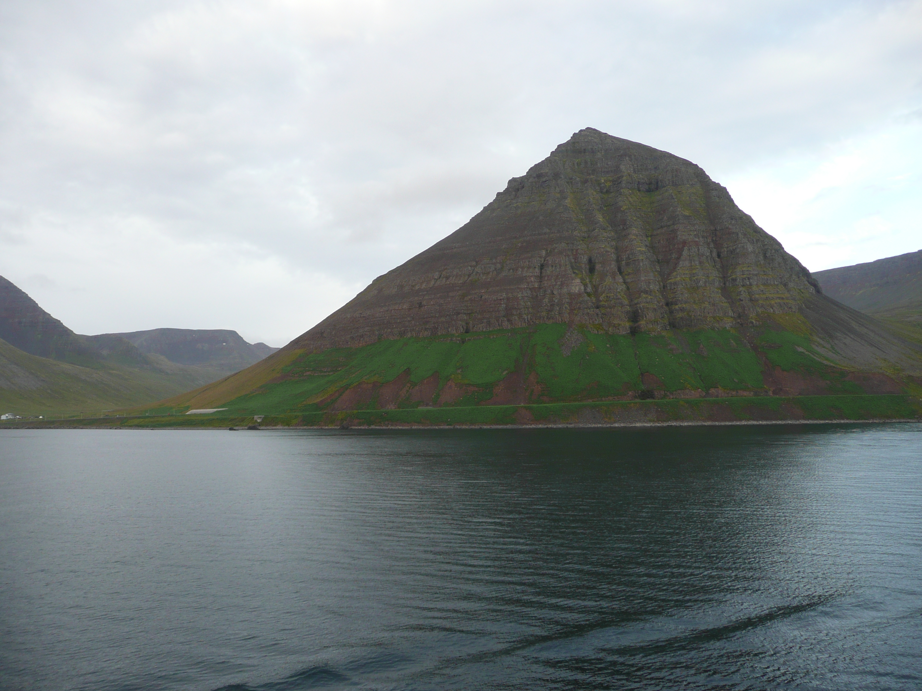
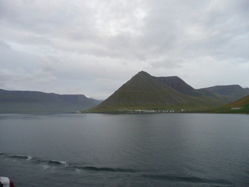
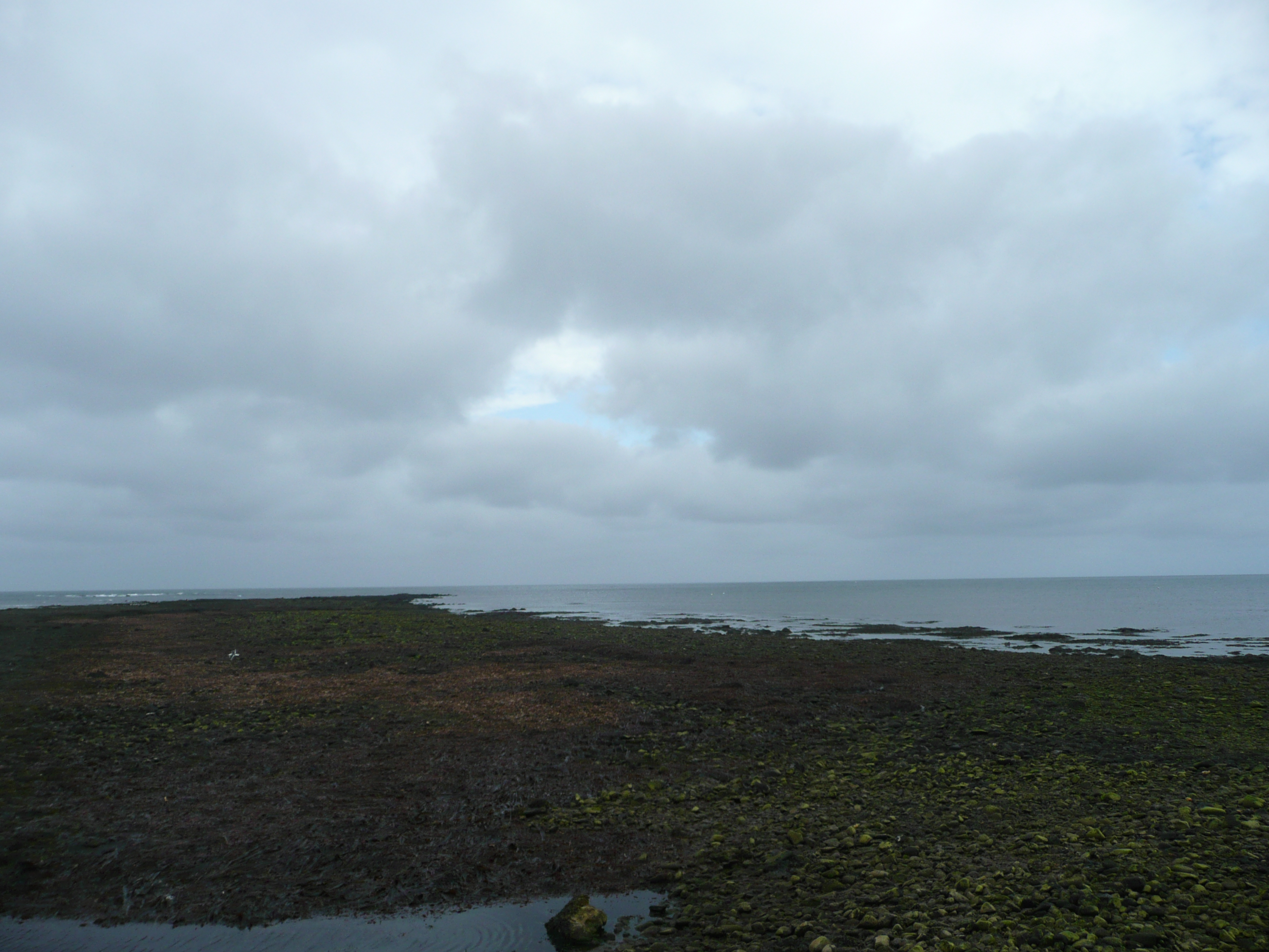
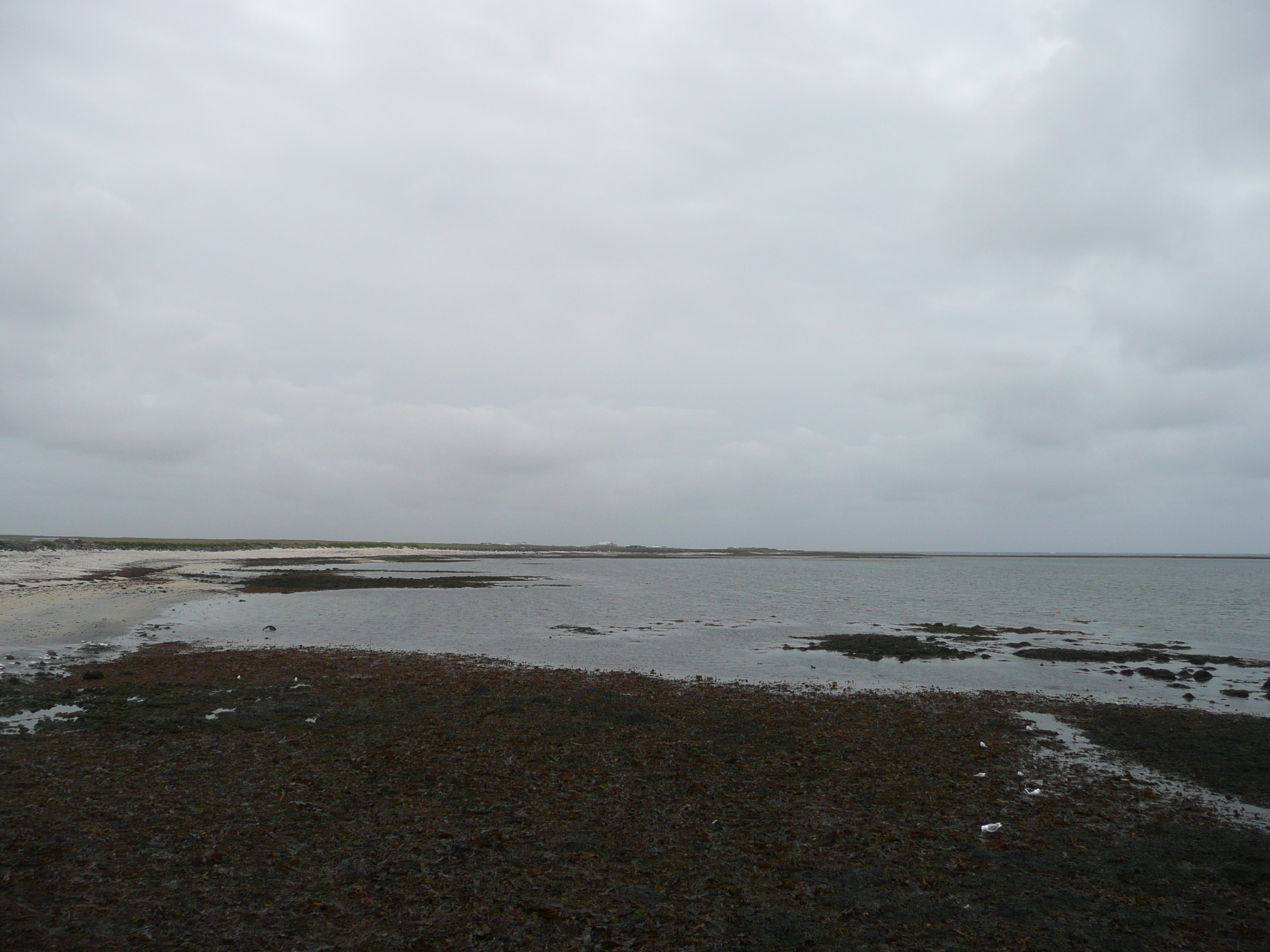
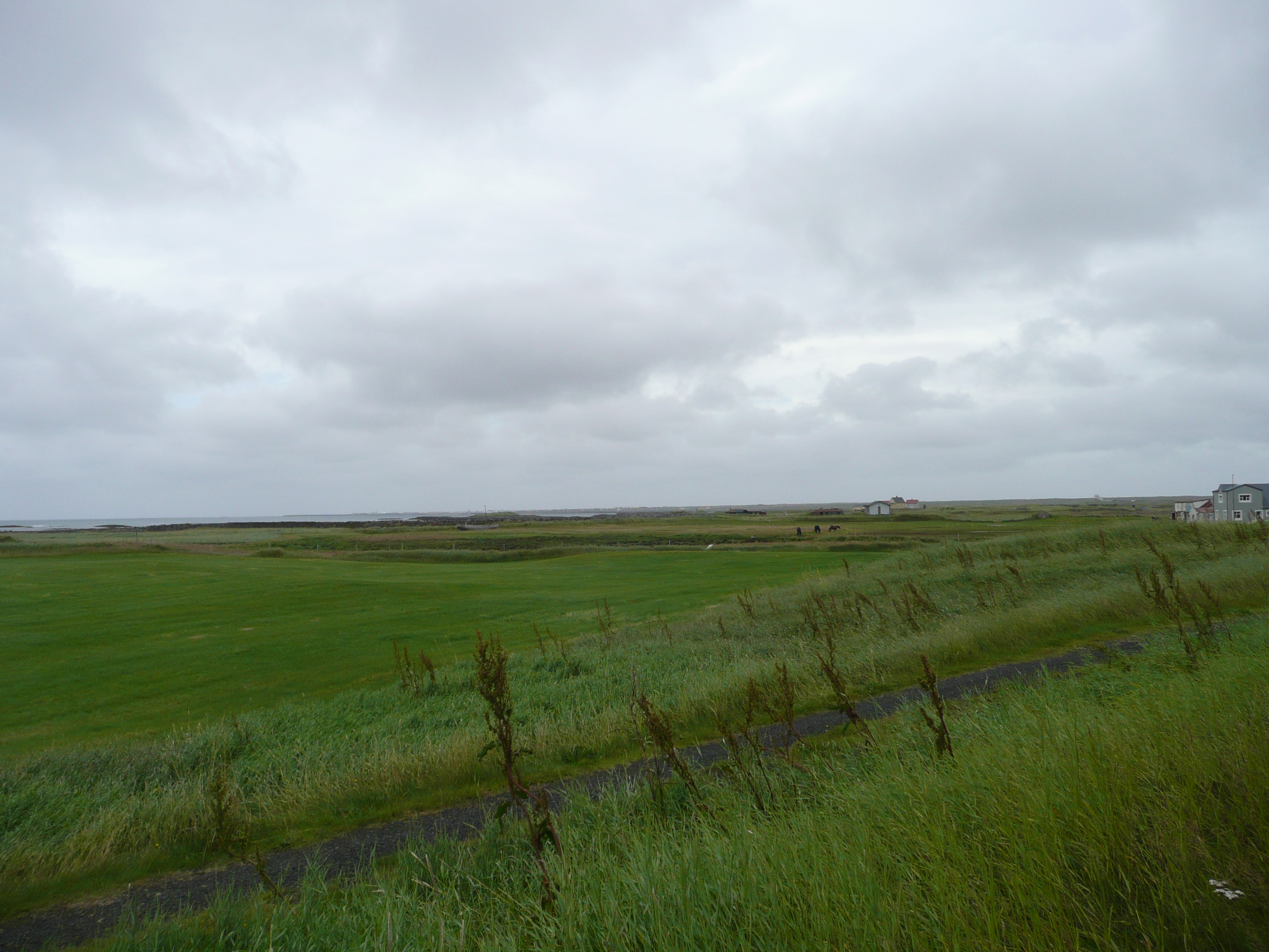
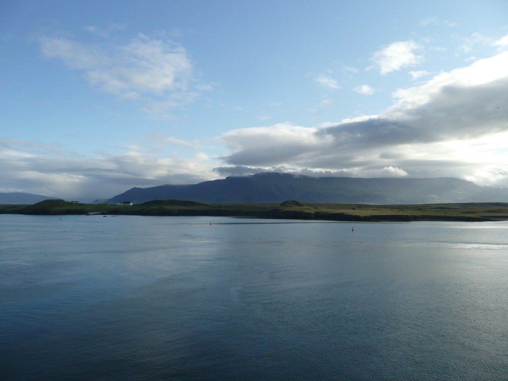
To była jedna z najdziwniejszych wojen w historii, a opowiadam o niej z punktu widzenia Islandii, dla której morze i jego zasoby decydowały o jej istnieniu. / It was one of the strangest wars in history, and I tell it from the point of view of Iceland, for which the sea and its resources determined its existence.

Rozdział pierwszy: 1958 – 1961 Pierwsza Wojna Dorszowa

Chapter One: 1958 – 1961 The First Cod War

Z powodu zmniejszenia się liczebności ryb na Północnym Atlantyku, Islandia ogłasza powiększenie swojej strefy przybrzeżnej z 4 do 12 mil morskich. (z ok. 7,5 do 22 km). Strasznie wkurzyło to Brytyjczyków, którzy od ponad dziesięciu wieków wyprawiali się na wody przybrzeżne Islandii, żeby łowić tam wielkie ilości dorszy (potrzebne do narodowej potrawy „fish and chips”). Stwierdzili, że mają zakaz w dupie i w towarzystwie czterech okrętów wojennych (!) dwadzieścia trawlerów pojawiło się w rejonie Westfjords. Jak wiecie Islandia nie ma armii, nie mówiąc o flocie wojennej, a Brytole nasyłają jedną z największych flot wojennych na świecie na kilka kutrów islandzkiej Straży Przybrzeżnej! Jak napisał historyk Guðni Jóhannesson; „tylko okręt flagowy Þór (Thor) mógł skutecznie zatrzymać i, w razie potrzeby, odholować trawler do portu”.
Niemal natychmiast stało się jasne, że brytyjska potęga militarna będzie trudną do pokonania przeszkodą dla narodu islandzkiego. Dlatego zwrócono się ku dyplomacji. Najpierw Islandia zagroziła wystąpieniem z NATO, jeśli jej roszczenia do wód terytorialnych nie zostaną uszanowane. Następnie politycy obiecali wydalić wszystkie siły amerykańskie stacjonujące na Islandii. Przypominam, że trwała „zimna wojna”, a na Islandii stacjonowały wojska NATO.

Due to a decline in fish stocks in the North Atlantic, Iceland announces an expansion of its coastal zone from 4 to 12 nautical miles (from approximately 7.5 to 22 km). This greatly infuriated the British, who for over ten centuries had been venturing into Iceland’s coastal waters to fish for cod (needed for the national dish, „fish and chips”). They decided they didn’t give a damn, and, accompanied by four warships (!), twenty trawlers appeared in the Westfjords. As you know, Iceland has no army, let alone a navy, and the British are sending one of the world’s largest naval fleets against a few Icelandic Coast Guard cutters! As historian Guðni Jóhannesson wrote, „only the flagship Þór (Thor) could effectively stop and, if necessary, tow a trawler to port.” Almost immediately, it became clear that British military might would be a difficult obstacle for the Icelandic people to overcome. Therefore, they turned to diplomacy. First, Iceland threatened to withdraw from NATO if its claims to territorial waters were not respected. Then, politicians promised to expel all American forces stationed in Iceland. Remember, the Cold War was raging, and NATO troops were stationed in Iceland.

Konferencja Narodów Zjednoczonych w sprawie Prawa Morza w latach 1960–1961 przyniosła następujące rozwiązanie – Islandia miała prawo do utrzymania swoich wód terytorialnych, pod warunkiem, że Wielka Brytania będzie mogła prowadzić połowy na określonych obszarach i w określonych porach roku. Umowa przewidywała również, że wszelkie dalsze spory między Islandią a Zjednoczonym Królestwem dotyczące praw połowowych będą rozstrzygane przez Międzynarodowy Trybunał Sprawiedliwości w Hadze.

Przez pewien czas między wyspami panował pokój. Jednak nie na długo.

The 1960–1961 United Nations Conference on the Law of the Sea resulted in the following outcome: Iceland had the right to maintain its territorial waters, provided that the United Kingdom could fish in certain areas and during certain times of the year. The agreement also stipulated that any further disputes between Iceland and the United Kingdom regarding fishing rights would be resolved by the International Court of Justice in The Hague.

For a time, peace reigned between the islands, but not for long.

Rozdział drugi: 1972 -1973 Druga Wojna Dorszowa

Chapter Two: 1972 -1973 The Second Cod War


Drugi rozdział konfliktu o prawa połowowe rozpoczął się we wrześniu 1972 roku. Islandia ponownie podjęła decyzję o rozszerzeniu swoich wód terytorialnych, tym razem do 50 mil morskich. W ten sposób dążyła do ochrony swoich zasobów rybnych i zwiększenia swojego udziału w połowach dokonywanych wokół Islandii. Nic dziwnego, że Wielka Brytania ponownie wyraziła sprzeciw, podobnie jak członkowie Układu Warszawskiego i wszystkie inne państwa Europy Zachodniej. W rzeczywistości tylko państwa afrykańskie poparły ekspansję Islandii, twierdząc, że jest to skuteczny sposób na zwalczanie zachodniego imperializmu.

The second chapter of the conflict over fishing rights began in September 1972. Iceland again decided to expand its territorial waters, this time to 50 nautical miles. This move sought to protect its fish stocks and increase its share of the catch around Iceland. Not surprisingly, Great Britain once again expressed opposition, as did the Warsaw Pact members and all other Western European states. In reality, only African states supported Iceland’s expansion, arguing that it was an effective way to combat Western imperialism.

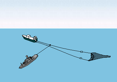
Podczas drugiej wojny dorszowej Islandia zmieniła taktykę. Zamiast próbować holować brytyjskie trawlery, zdecydowała się przecinać ich sieci rybackie, używając nożyc do sieci. Strategia ta początkowo przynosiła duże sukcesy. Przykładem może być sytuacja, gdy okręt wojenny ICGV Ægir napotkał nieoznakowany trawler. Islandczycy poprosili o szczegóły dotyczące pochodzenia trawlera, ale ich prośba została wysłuchana jedynie poprzez odtworzenie w eterze pieśni „Rule Britannia”. W odpowiedzi ICGV Ægir przeciął cumy trawlerów, co wywołało ostrą wymianę zdań między obiema załogami. Brytyjscy marynarze rzucali w niego nie tylko przekleństwami…

During the Second Cod War, Iceland changed tactics. Instead of trying to tow British trawlers, it decided to cut their fishing nets using net cutters. This strategy initially met with considerable success. For example, the warship ICGV Ægir encountered an unmarked trawler. The Icelanders requested details of the trawler’s origins, but their request was answered only by playing „Rule Britannia” on the airwaves. In response, the ICGV Ægir cut the trawlers’ mooring lines, sparking a heated exchange between the two crews. The British sailors hurled not only curses at it…

Przecinanie brytyjskich sieci przez Islandczyków / Icelanders cutting British net (Źródło: Wikipedia)


Rozdział Trzeci: 1975 – 76 Trzecia Wojna Dorszowa

Chapter Three: 1975-76 The Third Cod War

Wielka Brytania i Islandia po raz ostatni rywalizowały ze sobą, tym razem od 1975 roku. Brytyjskie rybołówstwo podupadło już w połowie lat siedemdziesiątych. Z tego powodu ten konkretny spór z Islandią wydawał się znacznie bardziej zacięty niż wcześniej.
W 1973 roku większość państw uczestniczących w Konferencji Narodów Zjednoczonych ds. Prawa Morza zgodziła się na limit połowów wynoszący 100 mil morskich. Islandia jednak nie była usatysfakcjonowana i zdecydowała się na limit dwukrotnie wyższy niż wcześniej ustalony. Wielka Brytania ponownie odmówiła uznania decyzji Islandii.

The UK and Iceland last competed against each other, this time in 1975. British fishing had already been in decline by the mid-1970s. Because of this, this particular dispute with Iceland seemed much more heated than before. In 1973, most nations participating in the United Nations Conference on the Law of the Sea agreed to a 100-nautical-mile fishing limit. However, Iceland was not satisfied and opted for a limit twice that previously established. The United Kingdom again refused to recognize Iceland’s decision.

Jedno z największych wydarzeń konfliktu miało miejsce w grudniu 1975 roku. Islandzki statek Straży Przybrzeżnej, V/s Þór, odkrył trzy brytyjskie trawlery – każdy trzy razy większy niż islandzki kuter. Na rozkaz odpłynięcia trawlery udawały, że wykonują polecenia, jednak po kilku milach okręty zaczęły celowo skręcać w stronę islandzkiego statku. Islandczycy odpowiedzieli strzałami ślepymi, a następnie ostrą amunicją. V/s Þór zmienił kurs, aby uniknąć staranowania, ale był niebezpiecznie bliski zatonięcia. W odpowiedzi Królewska Marynarka Wojenna wysłała 22 fregaty i siedem statków zaopatrzeniowych. Jednak nawet w obliczu tak wielkiej przewagi Islandczycy kontynuowali walkę. Do końca wojny odnotowano łącznie 55 incydentów taranowania.
W lutym 1976 roku Islandia podjęła decyzję o zerwaniu stosunków dyplomatycznych ze Zjednoczonym Królestwem. Rząd Islandii wyraźnie zasugerował również, że wystąpi z NATO, jeśli nie uda się osiągnąć wyznaczonych celów. Ostatecznie to zagrożenie zadecydowało o wyniku wojny. Amerykanie naciskali na Brytyjczyków, aby zakończyli konflikt, ale to Islandia po raz kolejny wyszła z niego zwycięsko.
Islandia osiągnęła swoje cele. W rezultacie, i tak już podupadające brytyjskie rybołówstwo zostało mocno dotknięte wykluczeniem z historycznie najlepszych łowisk, a duże północne porty rybackie jak Grimsby, Hull i Fleetwood podupadły.

One of the biggest events of the conflict occurred in December 1975. The Icelandic Coast Guard vessel, V/s Þór, discovered three British trawlers—three times the size of the Icelandic cutter. When ordered to depart, the trawlers pretended to obey, but after a few miles, the vessels began deliberately turning toward the Icelandic vessel. The Icelanders responded with blank shots and then live ammunition. V/s Þór changed course to avoid being rammed, but came perilously close to sinking. In response, the Royal Navy dispatched 22 frigates and seven supply ships. However, even in the face of such overwhelming odds, the Icelanders continued to fight. By the end of the war, a total of 55 ramming incidents had been recorded. In February 1976, Iceland decided to break diplomatic relations with the United Kingdom. The Icelandic government also strongly suggested it would withdraw from NATO if its stated goals were not achieved. Ultimately, this threat determined the outcome of the war. The Americans pressured the British to end the conflict, but Iceland emerged victorious once again. Iceland achieved its goals. As a result, the already declining British fishing industry was severely affected by being excluded from historically prime fishing grounds, and large northern fishing ports like Grimsby, Hull, and Fleetwood declined.

Brytyjska fregata atakuje islandzki kuter Straży Przybrzeżnej

Bilans tej wojny to zwycięstwo Islandii nad Wielką Brytanią w kwestii prawa do połowów na północnym Atlantyku, w wyniku których Islandia rozszerzyła swoją wyłączną strefę ekonomiczną (EEZ) i umocniła swoją suwerenność morską. No i nikt nie zginął.

The outcome of this war was Iceland’s victory over Great Britain for fishing rights in the North Atlantic, which resulted in Iceland expanding its exclusive economic zone (EEZ) and strengthening its maritime sovereignty. And no one was killed.

Dziękuję za materiały Reykjavik Maritime Museum. No i Magdzie, Ani i Piotrowi za zainteresowanie 🙂 / Thank you to the Reykjavik Maritime Museum for the materials. And to Magda, Ania, and Piotr for their interest 🙂

Westfjords (Dla Hani – For Hania)

Westfjords – Iceland

Kilka dni temu umarła jedna z naszych blogowych koleżanek – Hania. Była wspaniałą towarzyszką moich podróży, pięknie i optymistycznie nastawioną do świata i ciekawa nowych miejsc. Zawsze mówiła, że koniecznie chciałaby kiedyś odwiedzić Islandię… dla ciebie Haniu ta opowieść.

A few days ago, one of our blogging friends, Hania, passed away. She was a wonderful travel companion, always optimistic and curious about new places. She always said she wanted to visit Iceland someday… Hania, this story is for you.

West Iceland – Zachodnia Islandia

Jeśli widzieliście kiedyś mapę Islandii, to zauważyliście pewnie na północnym zachodzie jakby łapkę machającą w stronę Grenlandii? To największy półwysep tego kraju, zwany Westfjords, kraina bazaltowych gór, fjordów głęboko wrzynających się w ląd i pięknych piaszczystych plaż. Klify są wysokie na ponad 400 metrów, a wiele miejsc jest dostępnych tylko od strony morza. Na półwyspie jest piąty co do wielkości lodowiec Islandii – Drangajökull, zajmujący powierzchnię 150 km2, jedyny który znajduje się w całości na wysokości poniżej 1000 m n.p.m.

If you’ve ever looked at a map of Iceland, you’ve probably noticed a hand waving in the northwest toward Greenland. This is the country’s largest peninsula, called the Westfjords, a land of basalt mountains, fjords jutting deeply into the land, and beautiful sandy beaches. Cliffs rise to over 400 meters, and many areas are accessible only by sea. The peninsula is home to Iceland’s fifth largest glacier, Drangajökull, covering an area of ​​150 square kilometers and the only one entirely located below 1,000 meters above sea level.

Jesteśmy na północnym zachodzie półwyspu, w głębokim fjordzie Skutulfjordur. Płyniemy do Ísafjörður, wielkiego miasta, liczącego dwa tysiące siedmiuset mieszkańców. Rejon zamieszkany był już w IX wieku (oczywiście przez Wikingów), ale dopiero w XVI wieku stał się ważnym (co nie znaczy dużym) ośrodkiem handlowym.

We’re in the northwest of the peninsula, in the deep Skutulfjordur fjord. We’re sailing towards Ísafjörður, a large city with a population of 2,700. The region was inhabited as early as the ninth century (by Vikings, of course), but it wasn’t until the sixteenth century that it became an important (though not necessarily large) trading center.

Chętnie napisałabym wam o „Wojnach dorszowych”, bo to niesamowicie interesujące, ale nie chcę was zanudzać. Nie każdy tak uwielbia historię jak ja, więc tylko jeśli ktoś wyrazi choć umiarkowane zainteresowanie tym tematem, to opowiem. Na razie wąskim fiordem dopływamy do portu. Jest zielono, u podnóży wielkich gór widać świerkowe lasy. I świeci słońce.

I’d love to write about the „Cod Wars” because it’s incredibly interesting, but I don’t want to bore you. Not everyone loves history as much as I do, so only if someone expresses even a moderate interest in the subject will I tell you. For now, we’re approaching the harbor along a narrow fjord. It’s green, with spruce forests visible at the foot of the great mountains. And the sun is shining.

Reykjavik czesc 2 / part 2

Będziemy sobie szli spacerkiem przez Reykjavik, a w tym czasie odpowiem na wasze pytania i postaram się rozwiać wątpliwości dotyczące Islandii – po pierwsze (i najważniejsze) psy. Od 1924 roku w miastach nie wolno było mieć psów. Zakaz wziął się z obawy o zarażenia tasiemcem i z niewielki dostęp do mieszkań. Poza miastami psy mieszkały głównie na farmach. Ale… okazało się, że wiele osób łamie zakaz posiadania psów, w tym ówczesny minister finansów Albert Guðmundsson, właściciel pieski Lucy, który był wiele razy aresztowany za niepłacenie mandatów za nielegalne posiadanie psa. Po licznych protestach okazało się, że w stolicy mieszka (nielegalnie!) trzy tysiące psów!!! Dalszy zakaz nie miał sensu i został zniesiony w 1984.

We will take a walk through Reykjavik, and during this time I will answer your questions and try to dispel your doubts about Iceland – first (and most importantly), dogs. Since 1924, dogs have been banned in cities. The ban stemmed from concerns about tapeworm infection and limited access to housing. Outside the cities, dogs lived primarily on farms. But… it turned out that many people violated the dog ban, including the then-Minister of Finance Albert Guðmundsson, owner of doggy Lucy, who was arrested numerous times for failing to pay fines for illegal dog ownership. After numerous protests, it turned out that there were three thousand dogs living (illegaly) in the capital!!! The continued ban was pointless, and it was lifted in 1984.

Reykjavik

Po drugie – muzeum penisa (jakże ważny temat). Zostało otwarte w 1997 przez Sigurðura Hjartarsona, mieści się pod tym adresem: Hafnartorg Reykjastræti 4, 101 Reykjavík, jest otwarte codziennie od 10.00 do 19.00, wstęp kosztuje 3500 ISK, jest tam też kawiarnia i sklep z pamiątkami i ponad 300 eksponatów. Tak, ludzkie penisy też…

Secondly, the Penis Museum (such an important topic). It was opened in 1997 by Sigurður Hjartarson and is located at Hafnartorg Reykjastræti 4, 101 Reykjavík. It’s open daily from 10:00 AM to 7:00 PM, with admission costing 3500 ISK. There’s also a café and a gift shop, and over 300 exhibits. Yes, human penises too…

Po trzecie i równie ważne – kwestia piwa. Piwo było zakazane na Islandii od 1915 roku z powodu ruchu abstynenckiego, który postrzegał alkohol, a zwłaszcza piwo, jako pokusę dla młodych ludzi do intensywnego picia i wiązał piwo ze stylem życia Duńczyków, z którymi Islandczycy mieli konflikty kulturowe. Chociaż ogólnokrajowe referendum w 1908 roku doprowadziło do całkowitego zakazu wszystkich napojów alkoholowych w 1915 roku, piwo pozostało nielegalne nawet po zalegalizowaniu innych form alkoholu. Zakaz zniesiono 1 marca 1989. Tego dnia obchodzi się na Islandii „Dzień piwa”, hurraaa!

Third, and equally important, there’s the issue of beer. Beer had been banned in Iceland since 1915 due to the temperance movement, which viewed alcohol, and beer in particular, as a temptation for young people to drink heavily and associated beer with the Danish lifestyle, with whom Icelanders had cultural conflicts. Although a nationwide referendum in 1908 led to a complete ban on all alcoholic beverages in 1915, beer remained illegal even after other forms of alcohol were legalized. The ban was lifted on March 1, 1989. Iceland celebrates „Beer Day” on that day. Yay!

Czy zauważyliście, że większość ścian domów obłożona jest blachą? Nie wyglada to ładnie, ale zapewnia izolację przed zimnem i silnym wiatrem. Idziemy cały czas lekko pod górę ulicą Skólavörðustígur, pomalowaną na kolory tęczy na cześć parady równości (Reykjavík Pride) – znak wsparcia dla społeczności LBGTQ.

Have you noticed that most of the houses’ walls are clad in sheet metal? It’s not pretty, but it provides insulation against the cold and strong winds. We continue our slightly uphill walk along Skólavörðustígur Street, which is painted in rainbow colors in honor of the Reykjavík Pride parade—a sign of support for the LGBTQ community.

Rainbow street, Reykjavik 2025 – Tęczowa droga

Tęczowa droga prowadzi prosto do jednego z najsłynniejszych budynków Islandii – Hallgrímskirkja, czyli Kościoła Hallgrímura. Wznosi się na wysokość 75 metrów i nosi nazwisko islandzkiego pastora kościoła luterańskiego i poety Hallgrímur Péturssona (1614–1674). Projekt kościoła, autorstwa architekta Guðjóna Samúelssona, zlecono w 1937 roku. Mówi się, że zaprojektował go tak, aby przypominał skały, góry i lodowce krajobrazu Islandii, w szczególności jego kolumnowe formacje bazaltowe. Budowa trwała ponad 40 lat, do 1986 roku.

The rainbow path leads directly to one of Iceland’s most famous buildings – Hallgrímskirkja, or Hallgrímur’s Church. Towering 75 meters high, it bears the name of the Icelandic Lutheran pastor and poet Hallgrímur Pétursson (1614–1674). The church, designed by architect Guðjón Samúelsson, was commissioned in 1937. He is said to have designed it to resemble the rocks, mountains, and glaciers of the Icelandic landscape, particularly its columnar basalt formations. Construction took over 40 years, until 1986.

Hallgrímskirkja, or Hallgrímur’s Church, Reykjavik

Przed kościołem stoi pomnik Leifa Erikssona (Leifa Szczęśliwego) – gościa, o którym mało kto słyszał, a którego życie było jak z powieści (albo jak z serialu Netflixa – Vikings: Valhalla (2022)… Jego ojciec, Eryk Rudy był pierwszym Wikingiem, który osiedlił się na Grenlandii. Leif wyruszył około 1002 roku na wyprawę i prawdopodobnie był pierwszym Europejczykiem, który dotarł do Ameryki. Pięć wieków przed Kolumbem dotarł do Nowej Funlandii i Labradoru (które jak wiecie, znajdują się w mojej drugiej ojczyźnie – Kanadzie). Nie chcę was zanudzać opowieściami o Wikingach (o których pisałam już przy okazji rejsu na Spitsbergen), jeśli będziecie chcieli wiedzieć więcej, na pewno się dowiecie.

In front of the church stands a statue of Leif Eriksson (Leif the Lucky) – a guy few people have heard of, whose life was like something out of a novel (or like something out of the Netflix series – Vikings: Valhalla (2022)… His father, Erik the Red, was the first Viking to settle in Greenland. Leif set off on an expedition around 1002 and was probably the first European to reach America. Five centuries before Columbus, he reached Newfoundland and Labrador (which, as you know, are in my second homeland – Canada). I don’t want to bore you with Viking stories (which I already wrote about during my voyage to Spitsbergen), if you want to know more, you will definitely find out.

Pora wracać na statek. Wsiadamy do piętrowego autobusu (do którego bilety warte prawie 40 Euro dostaliśmy od nieznanej pary w porcie), objeżdżamy całe miasto, zatrzymując się przy najważniejszych miejscach w mieście, w tym przy niesamowitym muzeum przyrodniczym Perlan. Wieczorem opuszczamy Reykjavik i płyniemy dalej na północ…

It’s time to head back to the ship. We board a double-decker bus (for which we got tickets worth almost 40 euros from an unknown couple at the port) and drive around the city, stopping at the most important sites, including the incredible Perlan Natural History Museum. In the evening, we leave Reykjavik and sail further north…

Reykjavik

Mam wrażenie, że Islandia w ciągu krótkiego czasu przeżyła transformację od średniowiecza do XXI wieku, że Islandczycy z koni przesiedli się do SUV, manuskrypty zastąpili telefonami komórkowymi, a to wszystko w mgnieniu oka. Jestem już stara i niewiele rzeczy jest mnie w stanie zdziwić, ale stolica Islandii zaskoczyła mnie bardzo. Ale po kolei…

I feel like Iceland has transformed from the Middle Ages to the 21st century in a short space of time, with Icelanders moving from horses to SUVs, and replacing manuscripts with cell phones—all in the blink of an eye. I’m old now, and few things surprise me, but Iceland’s capital surprised me greatly. But first things first…

Reykjavik port / harbour (photo from official Island Tourist page)

Zeszliśmy ze statku skoro świt, czyli koło 11. Pogoda była wspaniała, nawet jak na Islandię. Przeszliśmy przez portowy terminal składający się z niewielkiego baraku i dwóch znudzonych celników. Na ulicy czekał autokar, który (za darmo!) wozi pasażerów z portu do centrum i niespodzianka… zaczepiła nas para, która wracała już na statek i dała nam 24-godzinne bilety na busy do zwiedzania miasta!

We disembarked the ship at dawn, around 11 a.m. The weather was gorgeous, even for Iceland. We passed through the port terminal, which consisted of a small hut and two bored customs officers. A bus was waiting on the street (for free!), taking passengers from the port to the city center, and surprise… we were approached by a couple who were already returning to the ship and gave us 24-hour bus tickets for sightseeing!

Spójrzcie na te wieżowce nad zatoką… Miasto jeszcze niedawno będące jak rybacka wioska przekształciło krajobraz w wizjonerską i śmiałą architektoniczną fantazję, w której nie ma kiczu ani przesady.

Look at those skyscrapers overlooking the bay… What was once a fishing village has transformed the landscape into a visionary and bold architectural fantasy, devoid of kitsch or excess.

Autobus po dziesięciu minutach zatrzymał się przed ogromnym budynkiem. To Harpa, symfonia szkła i stali, budynek mieszczący sale koncertowe i centrum konferencyjne. A przede wszystkim darmowy internet! (na statku oczywiście jest wi-fi, ale ponieważ dostarczany jest przez Starlink, więc cena jest raczej wysoka, więc postanowiliśmy przeznaczyć tę kasę na inne cele).

Ten minutes later, the bus stopped in front of a massive building. It was Harpa, a symphony of glass and steel, housing concert halls and a conference center. And, most importantly, free internet! (There’s Wi-Fi on the ship, of course, but since it’s provided by Starlink, the price is rather high, so we decided to use the money for other things.)

Po wysłaniu zdjęć i pogaduszkach przez WhatsApp ruszamy dalej. Nie będę was zanudzać opisem trasy wędrówki, ale muszę pokazać kilka miejsc, które szczególnie mi się spodobały. Stolica Islandii kryje tyle niespodzianek, że nie sposób pokazać wszystkiego. Jest pięknym, nowoczesnym miastem z fajnymi, miłymi ludźmi, pełnymi tolerancji i niezwykłą atmosferą i zachowującą równowagę między przeszłością a teraźniejszością.

After sending photos and chatting on WhatsApp, we set off. I won’t bore you with a description of the hike, but I have to show you a few places I particularly enjoyed. Iceland’s capital holds so many surprises that it’s impossible to show them all. It’s a beautiful, modern city with cool, kind people, full of tolerance, and a unique atmosphere that maintains a balance between the past and the present.

Poniżej: nowoczesna ulica i najstarsza księgarnia w mieście / Below: a modern street and the oldest bookstore in the city

Ulica, na której są stragany z wyrobami lokalnych artystów, między innymi biżuteria robiona z …lawy / A street with stalls selling products by local artists, including jewelry made from… lava.

Reklama Muzeum Fallogicznego (zbiór ponad 200 penisów i ich części obejmujący niemal wszystkie gatunki ssaków lądowych i morskich Islandii, biedne zwierzaki) i miejsce dla miłośników ogrodów / Advertisement The Phallological Museum (A collection of over 200 penises and their parts, covering almost every species of land and sea mammals in Iceland, poor animals) and a place for garden lovers:

Powyżej: reykjavikowe impresje. / Above: Reykjavik impressions.

To jeszcze nie koniec wędrówki, ale zanim ruszymy ulicą prowadzącą pod górę, chciałabym wam powiedzieć, że jeszcze 30 lat temu piwo na Islandii było nielegalne, a wszystkie bary były zamknięte w środę. Obywatele miasta nie mogli mieć psów, a jedyna stacja telewizyjna na wyspie nie nadawała niczego w czwartki i przez cały lipiec. A, i Islandczycy piją średnio najwięcej Coca – coli na świecie…

This isn’t the end of the journey, but before we head up the hill, I’d like to tell you that just 30 years ago, beer was illegal in Iceland, and all bars were closed on Wednesdays. Citizens weren’t allowed to own dogs, and the island’s only television station didn’t broadcast anything on Thursdays and entire month of July. Oh, and Icelanders drink, on average, the most Coca-Cola in the world…

Lawa i gejzery – Lava and geysers

Południowa część Islandii to labirynt skał magmowych i gorących gejzerów, ale też wielkie pola lawy zastygłej w malownicze pagórki. Ta część wyspy może doświadczać pięćdziesiąt tysięcy trzęsień ziemi w ciągu trzech tygodni! Olbrzymy pod ziemią nigdy nie zasypiają…

The southern part of Iceland is a labyrinth of igneous rocks and hot geysers, but also vast lava fields that have hardened into picturesque hills. This part of the island can experience fifty thousand earthquakes in three weeks! The giants underground never sleep…

Południowa Islandia / Southern Iceland

Jedziemy wśród czarnego krajobrazu niedawno wystygłej lawy niedaleko miasteczka Grindavik. Od 2021 roku, kiedy erupcja wulkanu w tym rejonie trwała prawie trzy miesiące, rejon doświadcza wzmożonej aktywności sejsmicznej. Erupcja w 2023 roku była coraz bliżej miasteczka, a 14 stycznia 2024 lawa pojawiła się niespełna kilkaset metrów od niego. Spaliły się trzy domy, a lawa i trzęsienie ziemi poważnie uszkodziły infrastrukturę. Tak to wygląda półtora roku po tych wydarzeniach:

We’re driving through a black landscape of recently cooled lava near the town of Grindavik. Since 2021, when the volcanic eruption in the area lasted almost three months, the region has experienced increased seismic activity. The 2023 eruption drew closer to the town, and on January 14, 2024, lava erupted just a few hundred meters away. Three houses burned down, and the lava and earthquake severely damaged infrastructure. This is what it looks like a year and a half after these events:

Grindivik, Islandia

Miasteczko, poza kilkoma domami zalanymi czarną lawą i uszkodzonymi licznymi szczelinami drogami wyglada na nieuszkodzone. W tamtym czasie mieszkańcy zostali ewakuowani i choć lawa może się rozlewać z prędkością pięciu metrów sześciennych na sekundę, to nikomu nic się nie stało. Teraz przed kilkoma domami widziałam zaparkowane samochody – ludzie zaczeli wracać do domów.

The town, aside from a few houses flooded with black lava and roads damaged by numerous fissures, appears undamaged. Residents were evacuated at the time, and although lava can spread at speeds of five cubic meters per second, no one was hurt. Now I saw cars parked in front of several houses—people were starting to return home.

Gejzery, Islandia / Geyzers, Iceland

Na horyzoncie widać już parę unoszącą się z gejzerów w dolinie Haukadalur. Geysir to staronordyckie słowo oznaczające… gejzer, a przyjęło sie na całym świecie jako nazwa źródeł termalnych. Okolica wyglada jak droga do Mordoru, a zapach siarki przyprawia mnie o ból głowy.

On the horizon, steam rises from the geysers in the Haukadalur Valley. Geysir is an Old Norse word meaning… geyser, and it’s become the name for thermal springs worldwide. The area looks like the road to Mordor, and the smell of sulfur gives me a headache.

Geysers valley, Iceland / Dolina gejzerów. Islandia

Jedną nogą w Ameryce – One foot in America

Jak wiecie, Ziemia jest płaska i spoczywa na grzbietach czterech słoni: Berilii, Tubula, Wielkiego T’Phona i Jerakeena, stojących na skorupie A’Tuina, wielkiego żółwia płynącego przez Wszechświat… No dobra, kto zna Świat Dysku, ten wie o co chodzi… Ale serio, to mieszkamy na największej na Ziemi płycie tektonicznej, zwanej płytą euroazjatycką. Żyje na niej 75 procent ludności. Na Atlantyku spotyka się ona z płytą północnoamerykańską, a Islandia leży na styku tych dwóch wielkich, tektonicznych potworów, stąd tak częste trzęsienia ziemi. A teraz wyobraźcie sobie, że jesteście w jedynym miejscu na świecie, gdzie możecie stanąć pomiędzy tymi dwiema płytami!

As you know, the Earth is flat and rests on the backs of four elephants: Berilia, Tubul, Great T’Phon, and Jerakeen, standing on the shell of A’Tuin, a giant turtle swimming through the Universe… Okay, those familiar with Discworld know what I mean… But seriously, we live on the largest tectonic plate on Earth, called the Eurasian Plate. Seventy-five percent of the population lives on it. In the Atlantic, it meets the North American Plate, and Iceland lies at the meeting point of these two tectonic monsters, hence the frequent earthquakes. Now imagine being in the only place in the world where you can stand between these two plates!

Jesteśmy w Parku Narodowym Þingvellir, gdzie można zobaczyć tzw. ryft oceaniczny na powierzchni, a nie w głębinach… choć w głębinach też można, nurkując w szczelinie Silfra, wypełnionej krystalicznie czystą wodą. Ale można też przejść przez symboliczny Most Między Kontynentami, zwany także Miðlína. Wysłałam Pana i Władcę do Ameryki, skąd zdążył wrócić, zanim odległość między płytami wzrosła o kolejne 2,5 centymetra (bo o tyle oddalają się od siebie rocznie obie płyty).

We’re in Þingvellir National Park, where you can see the so-called ocean rift on the surface, not in the depths… although you can also dive into the depths, diving the Silfra fissure, filled with crystal-clear water. But you can also cross the symbolic Bridge Between the Continents, also known as Miðlína. I sent my Lord and Master to America, from where he returned before the distance between the plates increased by another 2.5 centimeters (the distance the two plates move apart each year).

Pora ruszać dalej, na spotkanie gejzerów. / It’s time to move on, to meet the geysers.

Reykjanes

Wyruszamy wcześnie po wieeelkim śniadaniu (składającym się głównie ze statkowego najpyszniejszego na świecie chleba i serów, których kolekcja jest imponująca i choćby dlatego warto płynąć „moim statkiem”). Jest zimno i pochmurno, ale mamy czapki i zimowe kurtki. Autokar jedzie wzdłuż wybrzeża, mijając niewielkie osiedla parterowych domów rozrzuconych po obu stronach drogi. W oddali widać parę unoszącą się nad słynną „Niebieską Laguną”, a kawałek dalej białe obłoki nad wielką elektrownią geotermalną w Svartsengi.

We set off early after a hearty breakfast (consisting mainly of the ship’s most delicious bread and cheeses the collection of which is impressive and worth sailing on „my ship” for just that reason alone). It’s cold and overcast, but we’ve got hats and winter jackets. The coach travels along the coast, passing small settlements of single-story houses scattered on both sides of the road. In the distance we can see steam rising from the famous „Blue Lagoon”, and a little further white clouds over the large geothermal power plant in Svartsengi.

Jedziemy na półwysep Reykjanes, na południowy zachód od stolicy. Nazwa półwyspu oznacza „dymiący punkt”. Reykjanes jest częścią globalnego parku UNESCO. Krajobraz jest w kolorach ciemnej szarości, przetykanej gdzieniegdzie zielonością mchu, który wyrasta zaraz po tym, jak deszcz ostudza pola lawy… Wszystko co widać wokół to zastygła lawa. Reykjanes doświadcza wiele erupcji wulkanów od 2021 roku. Niemal każda erupcja poprzedzona jest trzęsieniem ziemi, które wstrząsa magmą, wtedy ziemia rozstępuje się jak wrota piekieł, tworzą się szczeliny, niektóre na wiele kilometrów i lawa wydostaje się na powierzchnię, wypływając często przez wiele miesięcy.

We’re heading to the Reykjanes Peninsula, southwest of the capital. The name translates to „smoking point”. Reykjanes is part of a UNESCO global park. The landscape is a dark gray, interspersed with the green of moss that grows immediately after rain cools the lava fields. All you see is solidified lava. Reykjanes has experienced numerous volcanic eruptions since 2021. Almost every eruption is preceded by an earthquake, which shakes the magma, then the ground splits open like a gates of hell, some extending for kilometers, and lava emerges onto the surface, often for months.

Docieramy do starej latarni morskiej Reykjanesviti, zbudowanej w 1878 roku. Osiem lat później została zniszczona przez trzęsienie ziemi. Odbudowano ją dopiero w 1908. Tereny wokół są wielkim żerowiskiem dla morskich ptaków, a zapach gnijących wodorostów zapiera dech…

We reach the old Reykjanesviti Lighthouse, built in 1878. Eight years later, it was destroyed by an earthquake and rebuilt only in 1908. The surrounding area is a great feeding ground for sea birds, and the smell of rotting seaweed is breathtaking…

Jedziemy drogą nr 45 na południe. Jest trochę bardziej zielono, na nielicznych łąkach pasą się konie, nie tylko islandzkie. Ziemia jest poprzecinana rozpadlinami i bazaltowymi skałami. Wśród skał i wąwozów widać białe owce, zwykle po trzy – mama i dwoje jagniąt. Zaglądamy do niewielkiego kościoła na wzgórzu, a potem skręcamy na północny wschód…

We head south on Route 45. It’s a bit greener, with horses grazing in the few meadows, not just Icelandic ones. The land is crisscrossed with clefts and basalt rocks. Among the rocks and ravines, we see white sheep, usually three in a row—a mother and two lambs. We visit a small church on a hill, then turn northeast…

Islandia – Iceland

Islandia – Iceland

Przepłynęliśmy 3060 kilometrów i jesteśmy na południowo-zachodnim krańcu Islandii. Jest dosyć ciepło, około 14 stopni i nie pada. Słońce wzeszło o 4:27, zajdzie o 22:13, czyli dzień potrwa około osiemnastu godzin. Przybyliśmy do kraju, który ma najstarszy parlament na świecie (założony w 930 roku), gdzie mieszkańcy nie mają nazwisk, gdzie przestępczość jest tak niska, że policja nie nosi broni, gdzie nie ma kolei i komarów (ale są inne stwory, które je zastępują), gdzie czyta się i kupuje najwięcej książek na świecie, a na każdego mieszkańca przypadają trzy owce… Poza tym jest tu około 1000 wodospadów, a ich liczba ciągle rośnie, nie ma żadnego McDonalda, a największą mniejszością są Polacy.

We’ve sailed 3,060 kilometers and are at the southwestern end of Iceland. It’s quite warm, around 14 degrees Celsius, and it’s not raining. The sun rose at 4:27 a.m. and will set at 10:13 p.m., meaning the day will last about eighteen hours. We’ve arrived in a country with the oldest parliament in the world (founded in 930 AD), where residents don’t have surnames, where crime is so low that police don’t carry weapons, where there are no railways or mosquitoes (but other creatures take their place), where the world’s most books are read and purchased, and where there are three sheep for every resident… Besides that, there are about 1,000 waterfalls and their number is constantly growing, there’s no McDonald’s, and the largest minority are Poles.

Islandia – Iceland

Islandia to największa wulkaniczna wyspa na świecie. Wulkany są ciągle aktywne, a dodatkowo wyspa leży na styku dwóch wielkich płyt tektonicznych… Dzięki tej aktywności, Islandczycy mają darmowe zasilanie odnawialną energią wszystkiego – ogrzewania domów, basenów a nawet chodników. Islandia wytwarza ponad 99% energii elektrycznej ze źródeł odnawialnych, a mianowicie z hydroenergii (około 80%) i geotermii ( około 20%).

Iceland is the largest volcanic island in the world. The volcanoes are constantly active, and the island lies at the junction of two large tectonic plates. Thanks to this activity, Icelanders have free renewable energy for everything – heating their homes, swimming pools, and even sidewalks. Iceland generates over 99% of its electricity from renewable sources, namely hydropower (approximately 80%) and geothermal energy (approximately 20%).

Islandia – Iceland

Co by wam jeszcze o Islandii powiedzieć? Język islandzki jest najstarszym używanym językiem w Europie. Klimat, mimo położenia jest łagodny i wcale nie jest przeraźliwie zimno. Temperatura właściwie nie spada poniżej minus dziesięciu stopni, a często oscyluje wokół zera. Większym problemem są wiatry, wiejące często z prędkością ponad 100 km/h, zdolne przewrócić samochód. Poza tym Islandczycy nie mają armii, mieli prohibicję do 1989 roku, a trzy główne stanowiska w państwie – prezydenta, premiera i przywódcy kościoła – zajmują kobiety!

What else can I tell you about Iceland? Icelandic is the oldest spoken language in Europe. Despite its location, the climate is mild and not terribly cold. Temperatures rarely drop below minus ten degrees Celsius, often hovering around freezing. A bigger problem are the winds, which often blow at speeds over 100 km/h, capable of flipping a car. Besides, Icelanders have no army; they had prohibition until 1989, and the three main positions in the country – president, prime minister, and church leader — are held by women!

No to wyruszamy! Well, let’s go!

Północny Atlantyk – North Atlantic

Fale są potężne, wiatr z zachodu ma prędkość prawie 100 km/h. Statkiem huśta niemiłosiernie, ale to dobrze – w restauracji nie ma zbyt wielkiego tłoku, a na siłowni są tylko trzy osoby oprócz mnie. Już się domyślam, dlaczego dopłata za kajutę z balkonem była taka niewielka – bo nie można z niego korzystać przy takiej pogodzie. Kiedy nie wieje jak na Śnieżce, to pasażerowie z sąsiednich kajut urządzają na swoich balkonach cholerne palarnie. Dobra, miałam nie narzekać…

The waves are huge, and the wind is coming from the west at almost 100 km/h. The ship is rocking mercilessly, but that’s a good thing – the restaurant isn’t overly crowded, and there are only three people in the gym besides me. I can already guess why the extra charge for the balcony cabin was so small – because you can’t use it in this kind of weather. When it’s not windy like on Śnieżka moutain, the passengers in the neighboring cabins set up their own damned smoking areas on their balconies. Okay, I wasn’t supposed to complain…

North Atlantic and stormy weather – Północny Atlantyk i sztorm

Wieczorem świat wkół statku nieco się uspokaja, za to pojawia się mgła. Zasypiam z myślą, że powinni koniecznie włączyć jakieś buczenie (według prawa morskiego statek o napędzie mechanicznym w ruchu powinien wydawać jeden długi dźwięk co 2 minuty), bo jesteśmy już blisko brzegu. Skąd wiem? Bo wpadłam na pomysł, żeby włączyć radio w telefonie i zeskanować częstotliwości. I usłyszałam ładnie brzmiący język, którego nigdy jeszcze nie słyszałam. Jutro dopłyniemy.

In the evening, the world around the ship calms down a bit, but fog settles in. I fall asleep thinking they should definitely turn on some sort of buzzer (according to maritime law, a powered vessel underway should emit one long beep every two minutes) because we’re already close to shore. How do I know? Because I got the idea to turn on the radio on my phone and scan the frequencies. And I heard a beautiful-sounding language I’d never heard before. We’ll arrive tomorrow.

North Arlantic – great fog / Północny Atlantyk – wielka mgła

Północ, północny zachód – North, northwest

Płyniemy drugi dzień. Wieje silny zachodni wiatr, temperatura 11 stopni. Fale są wysokie, trochę kołysze, zwłaszcza na 12 pokładzie gdzie przesiadujemy w wielkiej statkowej restauracji z bufetem. Na tym samym pokładzie są dwa baseny, opanowane przez wrzeszczące dzieci, które sprawiają, że nie mam zamiaru nawet tam zaglądać. Za to na siłowni dzieci nie ma, za to są dziesiątki spoconych ludzi, próbujących spalić obfite śniadanie na rowerach, bieżniach i atlasach. Moje przejechane na rowerze 10 kilometrów na nikim nie zrobiłoby wrażenia, ale dla mnie to zachęta do poszukania małego conieco w bufecie…

We’re sailing on our second day. A strong westerly wind is blowing, and the temperature is 11 degrees Celsius. The waves are high and there’s a bit of rocking, especially on deck 12, where we hang out in the ship’s large buffet restaurant. On the same deck are two swimming pools, overrun by screaming children, which makes me not even want to go there. There are no children in the gym, though, instead there are dozens of sweaty people trying to burn off a hearty breakfast on bikes, treadmills, and multi-gyms. My 10-kilometer bike ride wouldn’t impress anyone, but it’s an incentive for me to find a little something at the buffet…

W tej restauracji jest codziennie pieczony chleb, ale jaki… Najlepszy na świecie, lepszy nawet od tego, jaki pamięta się z dzieciństwa… Poza cudownym chlebem jest mnóstwo wspaniałych rzeczy do jedzenia i picia, nawet dla takiej rozpuszczonej wegetarianki jak ja. Myślę, że najpóźniej jutro przestanę się mieścić w spodnie.

This restaurant bakes bread daily, but what a bread… The best in the world, even better than the one you remember from your childhood… Besides the wonderful bread, there are plenty of wonderful things to eat and drink, even for a spoiled vegetarian like me. I think I’ll stop fitting into my pants by tomorrow at the latest.

Norden North Sea – północne Morze Północne

Dziś rano jeszcze towarzyszyły nam mewy i widać było wieże wiertnicze. Dziś północne Morze Północne jest puste aż po horyzont. Kolor wody zmienia się od ciemnego granatu po odcienie złota, miedzi i srebra, przetykane bielą morskiej piany. Nasza pozycja to mniej więcej 61 stopni 21′ szerokości geograficznej północnej i 9 stopni 34″ długości zachodniej (podaję te dane dla zapalonych nawigatorów). W nocy przepłynęliśmy pomiędzy archipelagami Orkadów i Szetlandów, leżącymi około 200 kilometrów od wybrzeży Szkocji. I zmieniliśmy czas ze środkowoeuropejskiego na GMT, czyli Greenwich Mean Time (znany również jako czas zachodnioeuropejski lub UTC+00:00).

This morning, we were still accompanied by seagulls and visible oil rigs. Today, the northern North Sea is empty to the horizon. The water’s color varies from dark navy blue to shades of gold, copper, and silver, flecked with white sea foam. Our position is approximately 61 degrees 21′ north latitude and 9 degrees 34″ west longitude (I’m providing this information for keen navigators). During the night, we sailed between the Orkney and Shetland archipelagos, located about 200 kilometers off the coast of Scotland. And we changed the time from Central European Time to GMT, or Greenwich Mean Time (also known as Western European Time or UTC+00:00).

Northen North Sea – północne Morze Północne

Płyniemy ze stałą prędkością 12,5 węzła (około 23 km/godz). Kapitan mówił, że płyniemy wolno ze względu na wysokie fale. Dla mnie mogliby płynąć jeszcze wolniej. Najważniejsze jest to, że jestem na morzu. Nareszcie zasypiam bez problemu, bo wszystkie zmartwienia zostały na brzegu. Cóż, „Navigare necesse est, vivere non est necesse”…

We’re sailing at a steady 12.5 knots (about 23 km/h). The Captain said we were going slowly because of the high waves. To me, they could have gone even slower. The most important thing is that I’m at sea. I’m finally falling asleep without any problems, because all my worries have been left on the shore. Well, „Navigare necesse est, vivere non est escesse”…